Google Maps upset Ukrainians' positions photos: Russians actively using snapshots.


Updated Google Maps photos 'revealed' the locations of Ukrainian military positions.
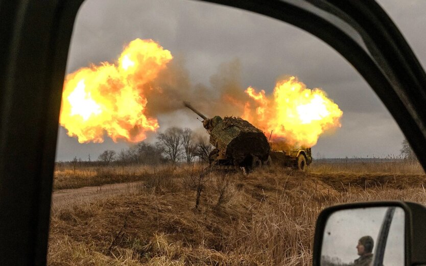
Head of the Center for Countering Disinformation (CPD) Andriy Kovalenko reported that updated Google Maps photos revealed the locations of Ukrainian military positions. He appealed to Google Maps to correct this situation, but received a response that it was impossible due to the weekend. Russians, in turn, are actively using these snapshots.
"Imagine the situation. Google posts updated images on maps showing the locations of our military systems. We asked them to quickly correct this, but they said they are off on weekends. Russians are already actively using these snapshots. What is wrong with this world?" - Kovalenko wrote.
After the public reaction, the head of CPD reported that he contacted Google representatives. They are already working on correcting the situation with snapshots of the locations of Ukrainian military systems.
"We will also discuss how to promptly resolve similar issues in the future," - Kovalenko added.
Reminder, Russia attacked Kyiv and the region with drones overnight.
Read also
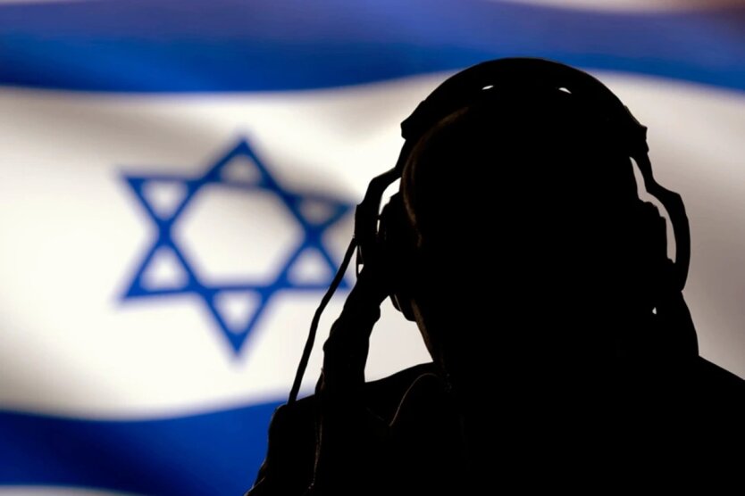
- Mossad Operation: The Times Reveals Details of Israel's Years of Preparation for Attack on Iran
- Frontline situation as of June 29. Summary of the General Staff
- Unequal situation: The Ministry of Foreign Affairs revealed the true reasons for rejecting restrictions on anti-personnel mines
- Zelensky Awards the Title of Hero of Ukraine to the Fallen F-16 Pilot Mykola Ustimenko
- Russia's summer offensive fails - The Telegraph
- The Russian summer offensive has stalled: The Telegraph on the key mistake of the occupiers